A Comprehensive Guide to the Sunshine Coast Flood Map
The Sunshine Coast, with its stunning beaches, lush hinterland, and vibrant communities, is a sought-after destination for residents and visitors alike. However, living in this picturesque region also comes with the responsibility of understanding and preparing for natural phenomena, such as floods. In this guide, we will delve into the Sunshine Coast flood map – an invaluable resource designed to enhance awareness and promote safety in the face of potential flooding events.
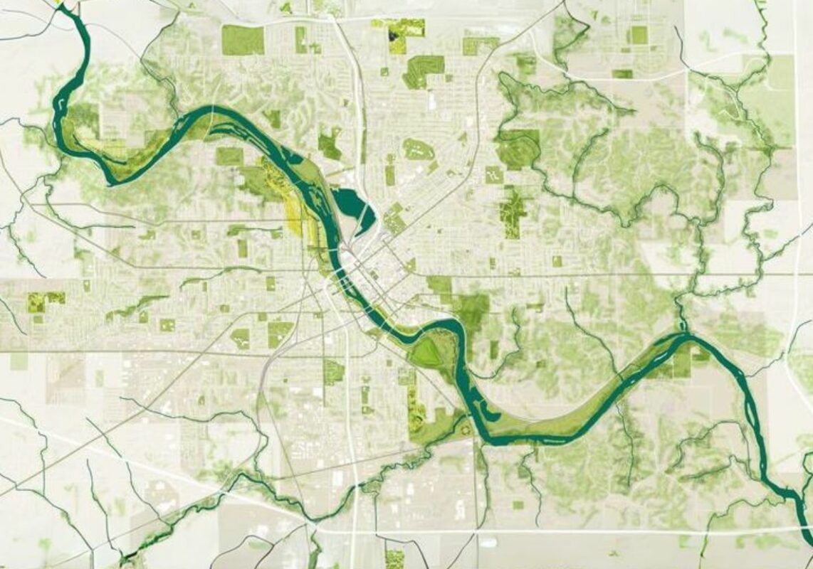
Understanding the Sunshine Coast Flood Map: The Sunshine Coast Regional Council has developed an interactive and user-friendly flood map that provides crucial flood information relevant to flood-prone areas across the region. This map is an indispensable tool for residents, businesses, and emergency services, offering detailed insights into flood risk zones, evacuation routes, and flood-level mitigation measures.

Key Features of the Sunshine Coast Flood Map
- Zone Identification: The flood map categorizes different areas into specific flood risk zones, ranging from low to high risk. Residents can easily identify their location on the map and understand the potential flood hazards associated with their area.
- Interactive Interface: The online platform allows users to interact with the map, zooming in on specific areas for a more detailed analysis. This feature empowers residents to explore their neighbourhood and surroundings, fostering a proactive approach to flood preparedness.
- Evacuation Routes: The flood map includes designated evacuation routes, ensuring that residents have clear pathways to safety in the event of a flood. Understanding these routes is crucial for timely and efficient evacuations.
- Flood Mitigation Measures: The map highlights existing flood mitigation infrastructure and measures implemented by the local authorities. This information is vital for residents to understand the ongoing efforts to protect the community from flooding and how they can contribute to these initiatives.
- Emergency Contacts and Information: Important emergency contact details and informational resources are easily accessible on the map. This feature ensures that residents can quickly access the support and guidance they need during an emergency.

How to Use the Sunshine Coast Flood Map:
- Location Identification: Enter your address or suburb to locate your residence on the map. Understand the flood risk associated with your specific area.
- Risk Assessment: Analyze the flood risk zone of your location. Consider the historical data, floodplain information, and other relevant details provided on the map.
- Emergency Planning: Familiarize yourself with the designated evacuation routes and emergency contacts. Develop a comprehensive emergency plan for you and your family.
- Community Engagement: Stay informed about community meetings and initiatives related to flood preparedness. Engage with local authorities and fellow residents to collectively build a resilient community.

Frequently Asked Questions About the Sunshine Coast Flood Map

The Sunshine Coast flood map is an essential tool for fostering a culture of preparedness and resilience in the face of potential flooding events. By utilizing this resource, residents can make informed decisions, enhance their safety, and actively contribute to the collective efforts to mitigate the impact of floods on this beautiful region.